The Tour needs a makeover
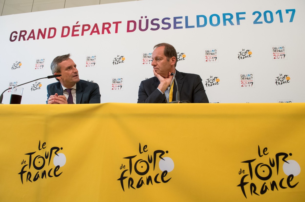
When Prudhomme became the director in 2007, the Tour was stuck in a very predictable format, tainted by an increasing numbers of doping scandals. It was time to make some serious changes. The new director strengthened the anti-doping efforts but, perhaps more importantly, decided to turn his attention to the route itself to give fans something new and exciting and to challenge the riders. Thankfully, he is not alone in the effort.

A two-man team for the job
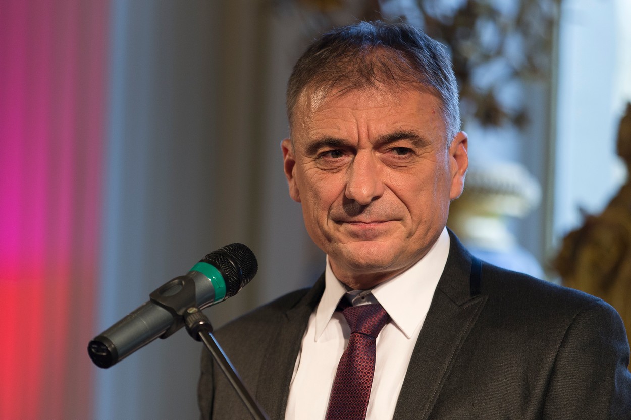
Prudhomme, a former TV journalist, is no stranger to spotlight and controversy. He has connections, experience, and the overarching vision of what he wants the Tour to be. Thierry Gouvenou complements him very well as he is a former pro journeyman and loves to work in the trenches, giving life and texture to Prudhomme’s vision. The director determines the major host cities and Gouvenou then has to find the specific roads that connect those dots.
Transition stages revamped
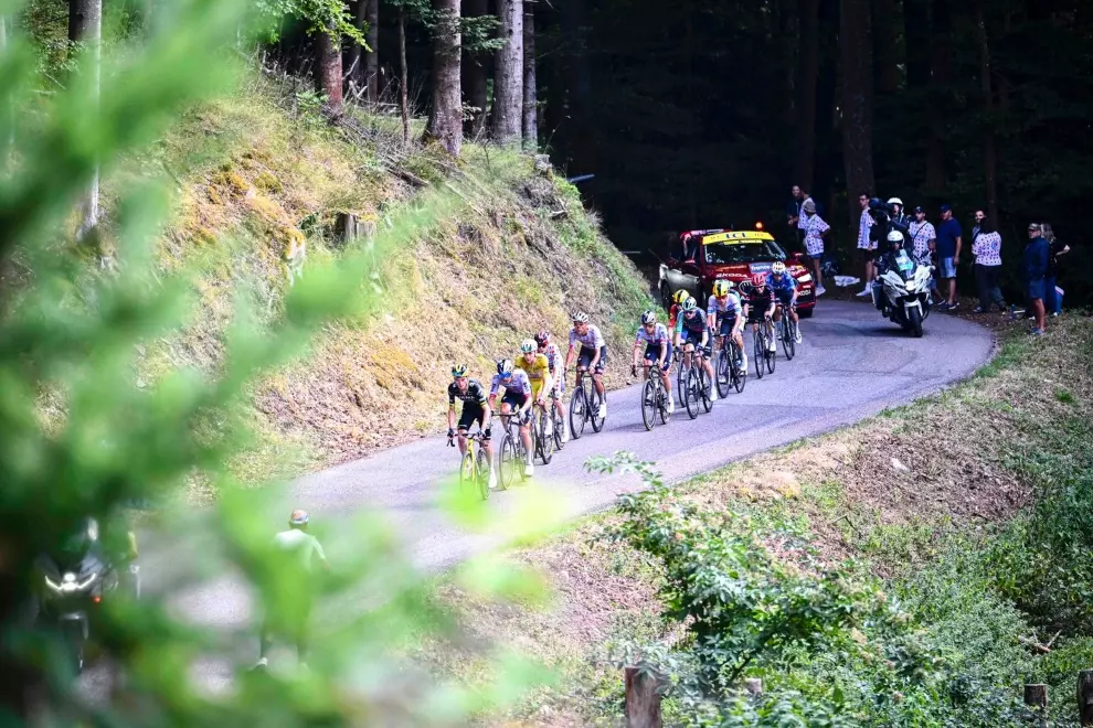
It quickly became apparent that the biggest difference can be made in transition stages. They used to be mostly predictable flats, with not much going on from the spectators’ point of view. Prudhomme decided to add punchy uphill finales, varied terrain, and even pavé. Suddenly, it was not all about the sprinters and the spectators loved it.

Mapmaking
Once the general framework was done, Gouvenou started looking for the specific roads, climbs, and sprint locations. He uses new technology as much as possible, not just predictable tools like GPS and Google Earth but even Strava to discover new roads and climbs. But even with those he always goes out on the roads himself. He spends numerous weeks traveling and, by September, has driven the following year’s finalized route in its entirety.
A military operation
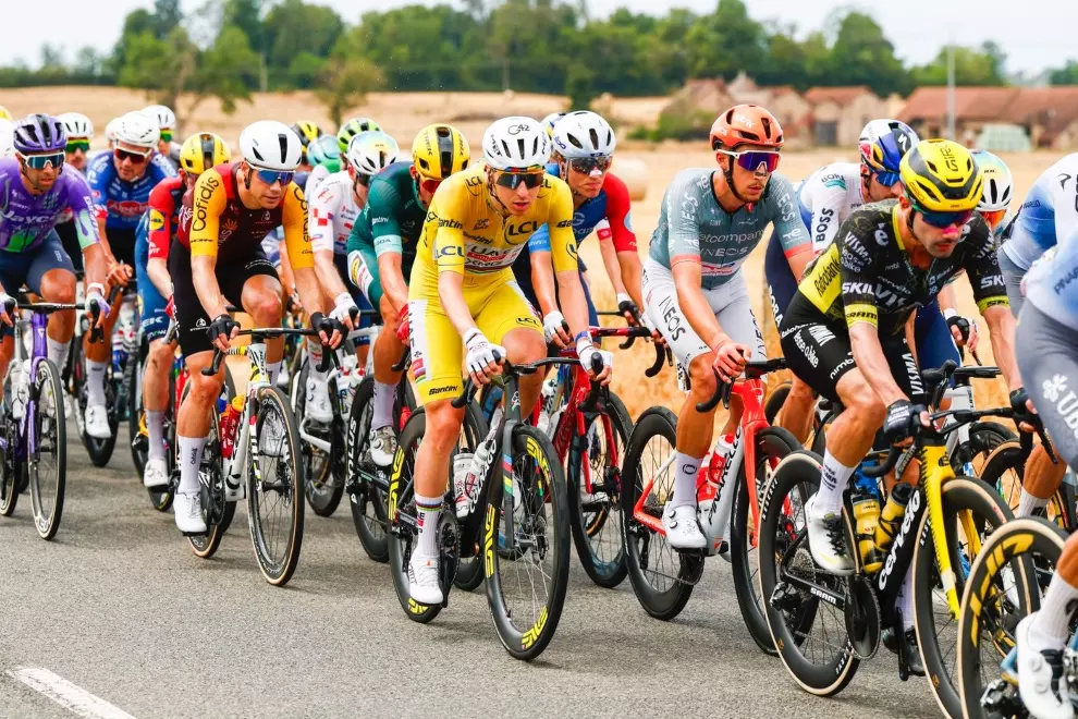
Every candidate city and finish line also has to be inspected to make sure it can handle the stress of hosting the Tour. It’s not just the peloton of 200 riders, the entourage tops 5000 people and there are about 250 accompanying Škoda cars. The behind the scenes consists of 400 to 500 technicians and up to 20 kilometres of fibre optic cable that need to be laid each day for the TV and the press rooms. Each finish needs about 10,000 m2 (2.5 acres) of space, it often resembles a military operation more than a sporting event.

When it’s finished
When October rolls round, Prudhomme and Gouvenou are ready to present their work, as Gouvenou once said: “Designing the route each year is a big challenge, but when we see the riders commenting that it looks hard, we know we did a good job.”