What is tile hunting?
Tile hunting began as a niche challenge within the cycling community, popularised by platforms like VeloViewer in the mid-2010s. The concept was simple: overlay a grid on a map and encourage cyclists to explore new areas by “collecting” tiles. Each tile represents a small, defined area on a map, around 1,5 km x 1,5 km. The goal? Ride through tiles to claim them, explore new places, expand your virtual grid, and turn every ride into an adventure.
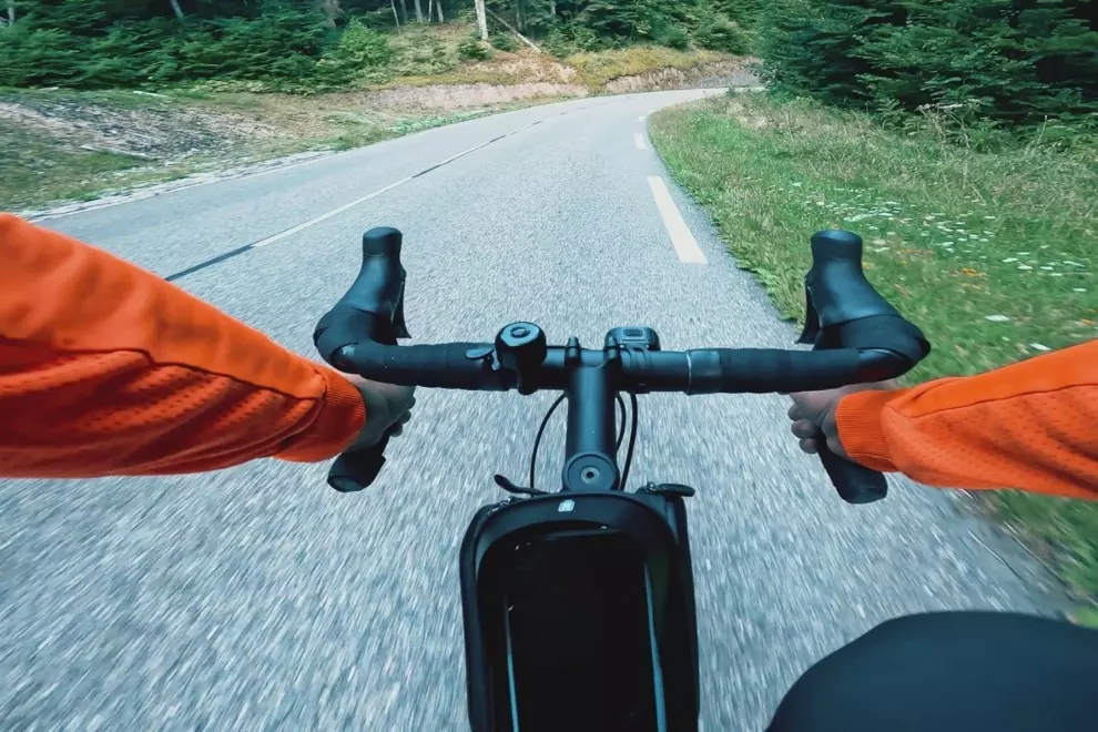
For me, tile hunting is the perfect blend of exploration and gamification. I love planning routes strategically to collect as many new tiles as possible in a single ride. The ride itself becomes an adventure as I venture beyond my usual routes, discovering hidden roads, trails, and landmarks I’d never noticed before. And after the ride? That little completionist in my brain lights up when I see my tile map expand.
How tile hunting works
Tile hunting relies on a grid system overlaid on maps across the whole world. When you ride through a tile while recording your activity (via Strava, Garmin, etc.), it gets logged as “collected”. Platforms like Statshunters and Squadrats sync with your ride data to track your progress, showing which tiles you’ve visited and which remain unexplored. And that’s when the hunt begins!
Who is it for?
Tile hunting is for every type of cyclist, whether you’re competitive or just love exploring. Leaderboards and challenges motivate those who thrive on competition, but even casual riders can use them as a fun way to decide where to ride next. It’s also a visual diary of your adventures, letting you look back and see where you’ve been, how far you’ve explored, and how much you’ve discovered. And even the pros are getting sucked into the hunt for tiles with Wout Van Aert and Tiesj Benoot enjoying some friendly competition on Squadrats.
Zobrazit příspěvek na Instagramu
Getting started is really easy
If you’re intrigued and want to give it a try, follow these steps:
- Choose a platform: Sign up for Statshunters or Squadrats.
- Sync your rides: Connect your Strava or Garmin account to import your existing rides and sync all future ones.
- Explore the map: Check out your current tile coverage and plan your next ride to fill in the gaps.
How to plan your next route
Since platforms like Strava are so widespread, chances are, most cyclists will already see a really interesting map when they do the initial sync. If you’ve tracked your cycling for some time, you will probably see a density of claimed tiles around your home town and then thin offshoots in the directions of your longer adventures.
Zobrazit příspěvek na Instagramu
This first look at the map sets the stage. Now you can start setting your goals. You can aim to fill in the gaps to quickly establish the biggest square, or go for the biggest cluster by adding as many tiles as possible in any direction, or simply venture out into a new direction where you’ve never been before.
To plan your route, platforms such as the above-mentioned Statshunters and Squadrats offer browser extensions that allow you to see this grid and individual tiles wherever you plan your routes. I use Mapy.com,but these extensions let you see the grid directly inside Strava, Garmin, or Komoot route planners. In the next article, I will share the tricks and tactics I learned when planning my tile-hunting routes to be as efficient as possible.