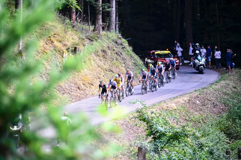
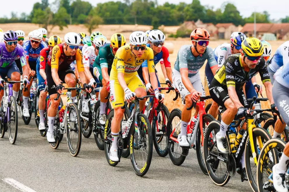
Though the Tour has gone abroad since 1954 when the first foreign Grand Départ was held in Amsterdam, and the race has since gone as far afield as Denmark, it remains a French race and, in many ways, an advertisement for the beautiful and varied French countryside and its many historical sites. So one of the goals of the Tour organisers is to be as geographically inclusive as possible and give every region, city and town a chance to be seen by the hundreds of millions of people who watch the race every year, some of whom will one day become touristes.
To illustrate just how successful the race has been in this mission, velowire.com has published a map that depicts, in coloured tracings that resemble painted snakes, the routes covered in every Tour since 2008, 16 in all. And every year, the complete new route will be added to the map, bringing more colour to our knowledge of the race. It’s also a cool way to discover or recall the details of any of the stages of the Tour de France since 2008.
For example, I click on this long, squiggly blue line running through the centre of the country and learn that stage 14 of the 2013 Tour took place on Saturday, July 13 of that year and covered 191 km from Saint-Pourçain-sur-Sioule to Lyon. Then, if I want more information, I can click on the end of that blue line and learn that the finish line was on Avenue Jean Jaurès, at the end of a final straight of 2,100 m and that this section of road was 7.5 m wide.
Or I move the cursor farther south, into the Pyrenees, and click on this mauve ‘snake’ that (I learn) represents stage 18 of the 2014 Tour, which was run on Thursday, July 24, from Pau to the Hautacam, a distance of 145.5 km. Another click, at the tail of the snake, and I learn that the finish at Hautacam follows a Beyond Category (HC) ascent of 13.6 km at an average gradient of 7.8%, with a final straight of only 50 m.
The map also reveals that the region of Brittany (Bretagne) has been visited six times in the past 16 years, perhaps because one of France’s true legends and the last French rider to win the Tour, Bernard Hinault, was born in the Breton commune of Yffiniac. The lines around the Paris region where almost every Tour has ended (next year will be a rare exception), are so dense they resemble a tarantula. You’ll have to enlarge the map quite a bit to identify the individual stages ending in the French capital.
In the past 16 years, the Tour has not visited only three areas in France: the Loiret region including the area around its capital, Orléans; the area around Angoulême, including the regions of Charente, Charente-Maritime and up to Haute-Vienne; and a swathe north and west of Troyes. But this will be rectified next year when stage 8 will be run in and around the city of Troyes and stage 9 will start in Orléans following a rest day in that city.
But the map isn’t restricted to the French stages as it also includes every Grand Départ and all the other stages run on foreign soil, such as the three UK stages from 2014 and the three Danish stages from last year. The map is great fun and quite interesting for fans of the Tour de France.