The biggest barrier isn’t hills
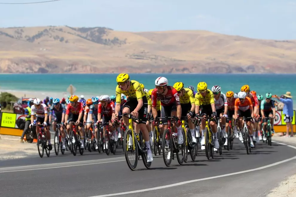
While rain, hills, or lack of fitness may deter some people from cycling, one risk stands above the rest: cars passing too closely. In a survey of 389 people in Seattle, researchers found that across all experience levels, the threat of cars discouraged people the most from riding.
That fear is not unfounded. “Cycling is really good for your health and for the environment,” said Joseph Breda, lead author of the study. “Getting more people biking more often is how we reap those rewards and increase safety in numbers for cyclists on the roads.”
Unfortunately, most cities don’t have granular, real-time data on how often cyclists experience near misses. To fill this gap, Breda and his team developed ProxiCycle, a low-cost, handlebar-mounted sensor that records when a passing vehicle comes within four feet of the rider.
Small sensor, big potential
The ProxiCycle device is simple and inexpensive: for under $25, cyclists can attach a small 3D-printed casing to their left handlebar. Inside are two distance-measuring sensors and a Bluetooth antenna. The device syncs with a mobile app and logs every time a car passes dangerously close.
To distinguish between vehicles and harmless objects like pedestrians or bushes, the team developed a custom algorithm. The system was first validated in controlled parking lot trials and then through GoPro-recorded test rides with seven cyclists across Seattle.
The real-world trial involved 15 everyday cyclists, who logged 2050 close passes during 240 rides over 2 months. Importantly, the locations of these incidents correlated strongly with areas of known car-bike collisions as well as riders’ own perceptions of unsafe spots.
From street smarts to smart maps
What sets ProxiCycle apart isn’t just that it gathers data, it’s how useful that data could be. Currently, city planners rely on collision stats or general “perceived safety” surveys to decide where to improve infrastructure. But Breda’s team found that recorded close passes were a better predictor of real risk than perception-based ratings.
This kind of crowdsourced sensor data could feed into navigation platforms like Strava or Google Maps to suggest safer routes. As Breda puts it, “Experienced cyclists have this mental map of which streets are safe and which are unsafe, and I wanted to find a simple way to pass that knowledge down to novice cyclists.”
Sometimes, avoiding danger is as simple as switching streets. “One study participant was biking down Mercer all the time,” Breda recalled. “It’s this busy, multi-lane road. But just before the study, they found out that there’s a great bike lane on a quieter street, just one block north.”
Next steps: more data, better safety
The researchers hope to expand ProxiCycle to more cities and potentially refine it further to detect other dangers, such as dooring incidents. With wider adoption, it could serve not only individual riders but also transport agencies seeking to make informed infrastructure upgrades.
Though the tech is still in early stages, the implications are promising. “The more people use this, the more accurate the safety maps become,” said Breda. And for riders looking to feel more confident and protected on city streets, that’s a map worth following.
What do you think, would you give it a try?